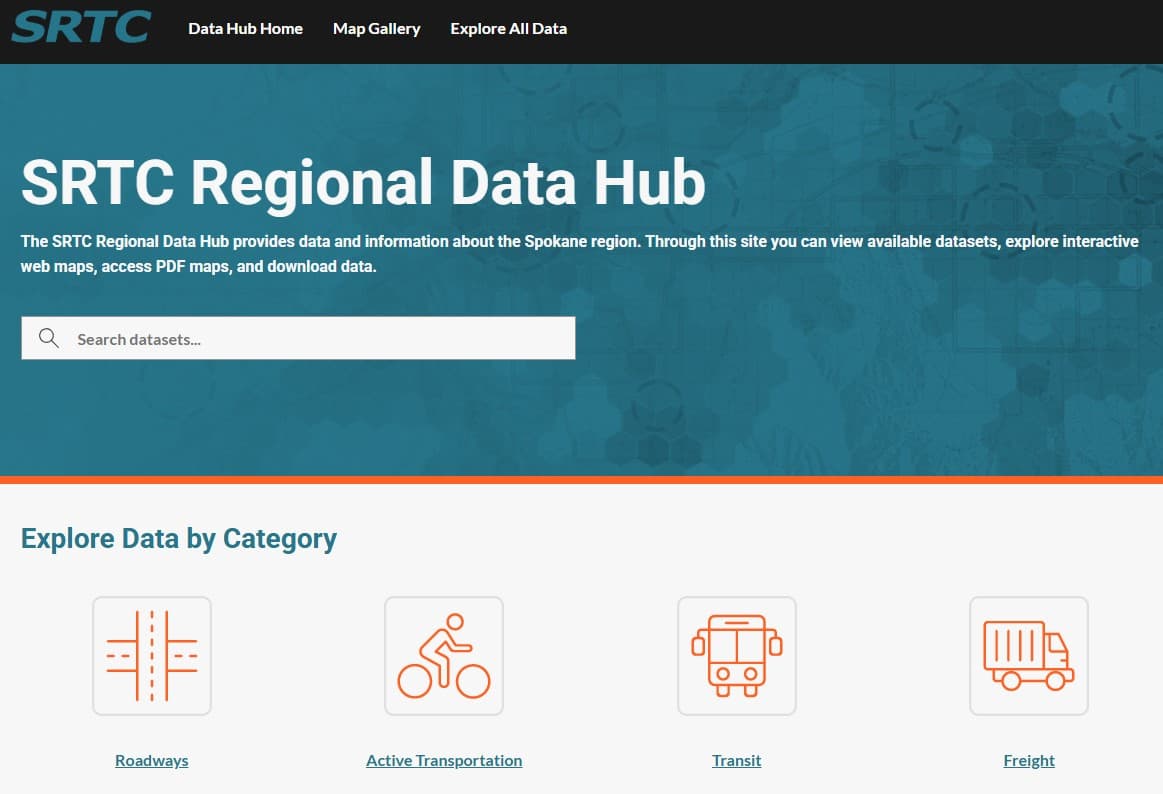
Data Hub For Spokane Region
We developed a comprehensive data management and visualization system for the Spokane Regional Transportation Commission (SRTC). The 'Data Hub' was created using ESRI's ArcGIS Hub architecture with backend data processing scripts written in Python. The platform allows staff and the public to quickly visualize and analyze key regional datasets including GIS, Census, transportation, land use, and demographics.
Key Features
- ✓Public-facing ESRI ArcGIS Hub data portal
- ✓Python backend data processing scripts
- ✓GIS & spatial data integration
- ✓Census & demographics datasets
- ✓Transportation & land use data layers
- ✓Interactive web maps & dashboards
- ✓Automated data pipeline management
- ✓Accessible to staff and the public
Tech Stack
PythonESRI ArcGIS HubArcGIS OnlineArcGIS API for PythonPostgreSQL / File Geodatabase
